parkrun Events Near Public Transport in Victoria
Last month, when two of Melbourne’s larger parkrun events were closed for the Formula 1 Australian Grand Prix 2026 and associated works in Albert Park, I was asked, “How many parkruns can you get to in Victoria by public transport?”
I knew, from contributing to projects like the Running Challenges Chrome Extension, that parkrun’s event information is available in GeoJSON format. I also suspected that public transport stop locations in Victoria would be available as open data, and indeed they were: Public Transport Lines and Stops dataset.
Front-end web development is not one of my core competencies (QED), but I hear delegating to coding agents is a thing these days, so I gave that a whirl and a few minutes later I had something satisfactory up and running at parkrun by Public Transport.
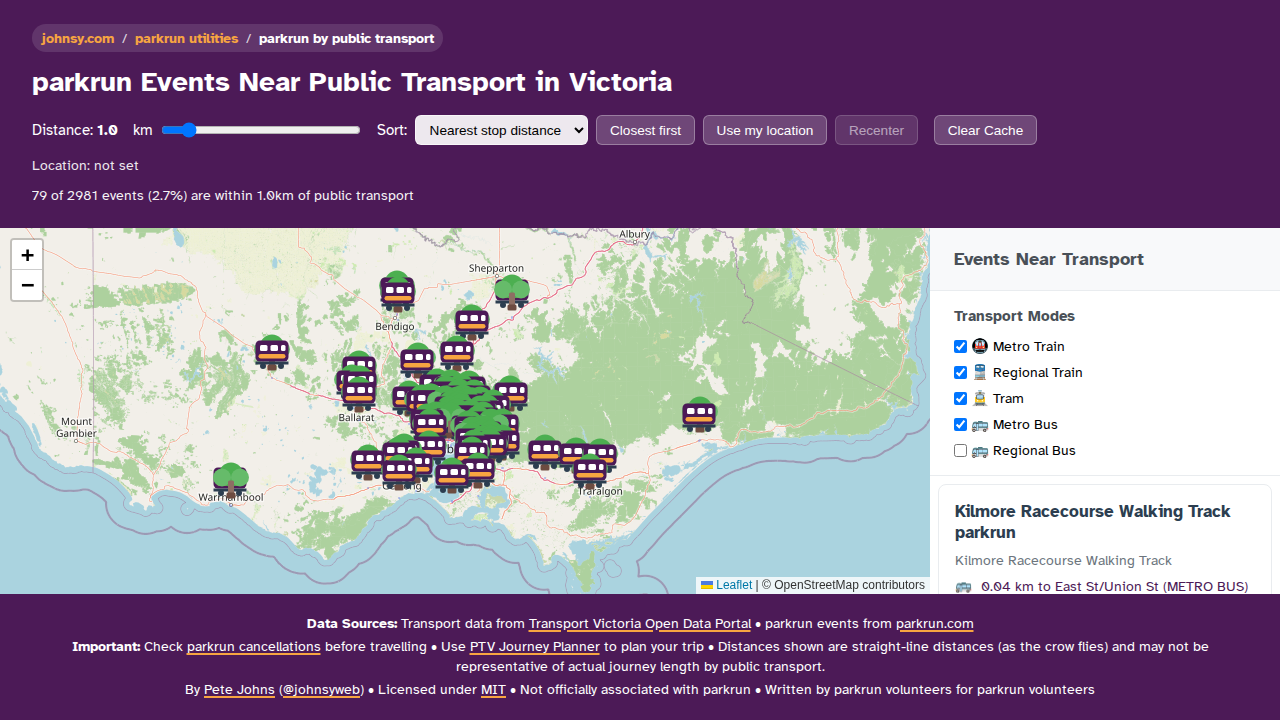
Rather than trying to build a full Saturday-morning journey planner, I treated this as a neat little data demo: plot Victorian parkrun events, find the nearest public transport stop to each one, and use that distance as a rough proxy for reachability.
There are over a hundred Victorian parkrun events within one kilometer of a public transport stops. That obviously misses things like service frequency, timetables, and whether the walk is actually pleasant or practical, but it is good enough to answer the question.
Public transport [in Victoria is] now free every day until the end of April, so I figure this little app may have broader appeal.
Perhaps, as other states and territories introduce free public transport, I can update the data sources.